I can hear them, down in the valley at the lake. The endless chanting of the indigenous people, performing their rites at Laguna de Chicabal. This magical sound that will stay with me forever. But I can’t see them, through the dense fog. Which makes these people an even bigger mystery to me.
It should have been the big reward of the hike, of course. After two hours of climbing, to see the magic lake from the viewpoint 200 metres higher. But the fog is not about to magically disappear from the crater.
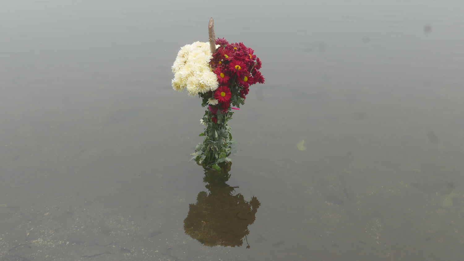
Even after descending all 570 steps down to the water, it’s hard to see any further then twenty metres maybe. The chants have come closer, obviously. But the only thing I can see of the rituals is a couple of flowers floating in the water. And don’t dare to swim here: this lake is sacrilegious for the locals.
Holy place
Chicabal has been a holy place for indigenous people for a long time. Especially in the weekends they flock here to perform their rituals. It is a place of Maya worship.
Annually, 40 days after Easter, people visit the lagoon to take part in a praying ceremony for the rain. Mayan priests perform traditional sacrificial ceremonies along the shore using candles, flowers (hence my discovery of them as well) and holy crosses. The Mam tribe combines spirituality with the natural environment of the amazing mountain scenery, the beautiful lake and the mystical cloud forest.
Popular hike
Chicabal is also a popular place amongst hikers. It is probably the easiest, though by no means easy, walk in the Xela region. It is also an ideal warming-up for the bigger hurdles, so you can get used to the elevation as well. The peak, at 2,712 metres, is still around 1,000 metres lower though than nearby Santa Maria by the way.
What I had conveniently ignored were the warnings that you have to go early to avoid the clouds (of the cloud forest, remember?). Because, obviously, it’s holiday and one needs to sleep as well…
It robbed me of my reward (the views of the laguna), but it still gave me a great inside view of local Guatemalan life. Just getting there was already an adventure: catching my first chicken bus, at the Minerva terminal. Being stuck in an old American school bus with way too many Guatemalans is an experience in itself.
[/one_fourth_last]Then of course the ticket attendant that didn’t warn me we had already passed San Martin Sacatepequez, despite me asking twice in advance… So taking a chicken bus back to that village cost me even more time, though the sun was still shining, so what could go wrong?[/one_fourth_last]Only way is up
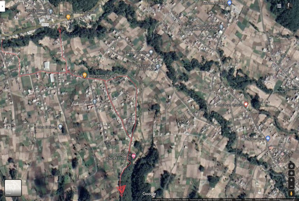
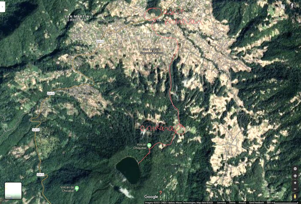
San Martin is very laidback, more a collection of small houses splattered all around on the mountain. From the moment you exit the bus, the only way is up. As long as you stick to the left side of the village, there is no way to go wrong (see maps below). Past the curious kids of the local school, until there are no houses to be seen anymore. Some more turns, and your legs get some rest in the relatively flat valley.
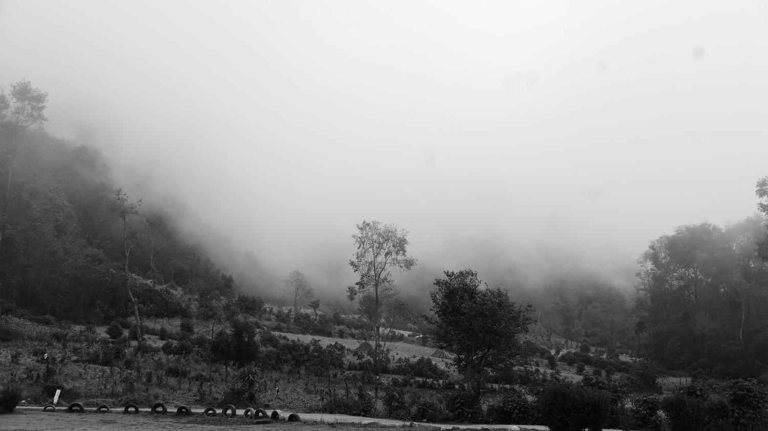
This is where the first clouds came floating in, as a warning of much more to come. It shrouded the forest in mystery, creating what I like to call dreamscapes: Almost surreal environments, where it’s hard to discern where you actually are.
Rather surreal was also the entrance to the final climb, on a meadow with two or three wooden buildings. A beer-bellied Guatemalan – with a moustache that dripped down from both sides of his mouth – briefly interrupted his game of cards. The guy could have come straight out of a western movie. But as long as you pay around 10€ (1€ for locals…) you will be fine…
Cloud forest
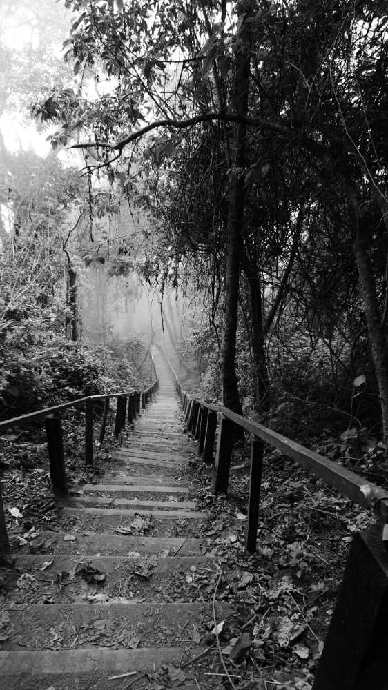
The final ascent gives you a brief glimpse of what cloud forests are: beautiful, lusciously green dense jungles, teeming with life, and almost always extremely humid (but not very warm). Expect some quetzal birds here if lucky. It is a great appetizer of more cloud forest to come if you travel further southwards (Nicaragua and Costa Rica especially).
The steep path splits into two directions near the top. If you turn left, you go to the viewpoint. From there, you can go down all 570 steps towards the lake. To see… clouds 🙂
Good to know
- As said, go as early as possible. Transport gets started around 6.00am. The earlier the better
- Transport option 1: go to the Minerva terminal and take a chicken bus (they will be on the northern side of the terminal) towards San Martin Sacatepequez (also known as San Martin Chile Verde). Just ask the locals, they will direct you to the proper bus
- Transport option 2: take a collectivo (around 7 quetzales) from the intersection of 6a Calle and 16 Avenida in Xela and ask to get off at Laguna Chicabal. They will and should drop you off in San Martin as well of course. The vans will probably read Chile Verde, and be waiting in the opposite direction (south side) of San Martin and Laguna Chicabal
- If not entirely sure where you are heading, just use Google Maps and search for Laguna Chicabal. It will show you the way
- Expect around two hours to get to the viewpoint. Going up and down to the lake takes another half hour, the road back is 60-90 minutes. So you need around 4-6 hours for the entire trip, transport excluded
- The ticket booth is the only option for a proper toilet. There is no food available almost anywhere (only a small kiosk at the end of the village), so bring your own
- The walkway is basically a gravel road, almost all the way to the mirador
- Background information provided by The Mixed Culture

One comment
Those aren’t Maya or indigenous singing. The lake is presently part of a chuch camp. It is competing choirs. They also play rap and techno.